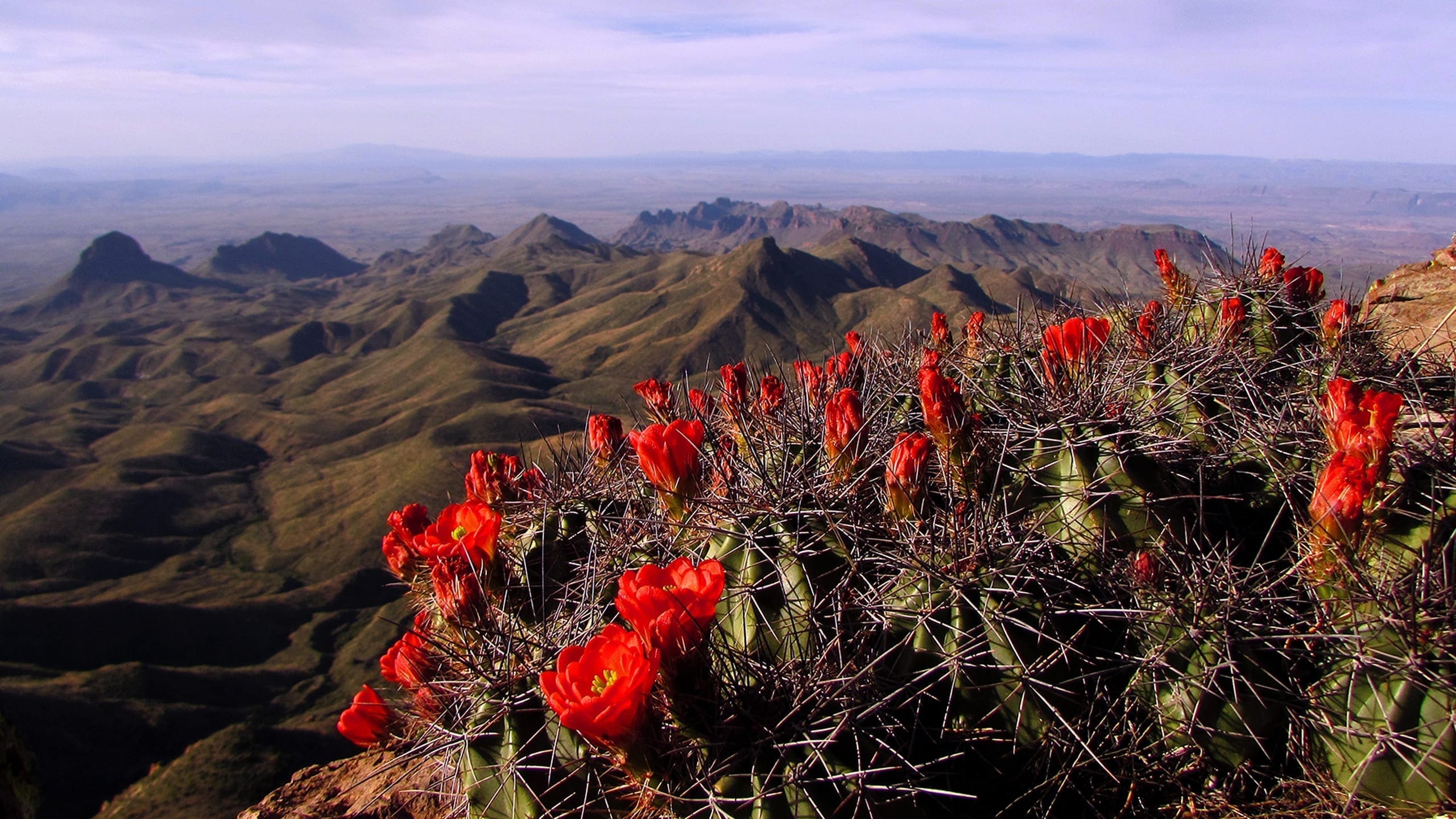
About Big Bend National Park
Big Bend National Park, the first national park in Texas, is in south Brewster County and encompasses more than 801,000 acres, including 533,900 acres of recommended wilderness in the Big Bend of the Rio Grande. The Rio Grande flows for 118 miles on the park’s southern boundary, through Santa Elena, Mariscal, and Boquillas Canyons, the deepest gorges on the river. In 1978, the US Congress designated a 196-mile section of the Rio Grande a wild and scenic river, 69 miles of which lie on the park boundary. The river forms the international boundary between Mexico and the United States, with the name Big Bend originating from the abrupt change of the Rio Grande’s channel from south easterly to a northeast direction. The park boundary is within the northern portion of the Chihuahuan Desert, which has the most precipitation of all four deserts in North America and one of the most biologically diverse.
The Chisos Mountains, the southernmost range in the continental United States, are completely enclosed in the park and rise over 7,800 feet above sea level. They support relict forests from the Late Pleistocene era of Arizona pine, Douglas-fir, Arizona cypress, quaking aspen, and bigtooth maple. The popular Chisos Basin, a topographic depression in the Chisos mountain range, offers spectacular panoramic vistas and a cool respite from the desert heat for visitors. The park preserves tremendous geological diversity, including marine sedimentary rocks, continental sedimentary rocks, volcanic rocks, and evidence of the three great North American mountain-building episodes. Evidence of geological processes readily visible at the park includes sedimentation, tectonics, erosion, volcanism, and fossilization. Many scientifically significant, impressive, and interesting fossils have been found in the park, including numerous dinosaurs, giant crocodiles, early mammals, petrified wood, and the world’s largest known flying creature, a giant pterosaur. With over 1,200 known species of fossils, the park is in the top tier of national park system units for fossil resources.
The park exhibits extreme climate contrast due to the range in elevation, which causes wide variation in moisture and temperature. Altitude ranges from about 1,800 feet along the river to 7,800 feet in the Chisos Mountains. Annual precipitation in the arid to semi-arid climate ranges from 6 inches in the desert to 17 inches in the mountains. Summer days often exceed 100 degrees Fahrenheit (°F) in the lower elevations, and although winters are normally mild throughout the park, subfreezing temperatures occasionally occur. This variation in climate contributes to the extraordinary diversity in plant and animal habitats present in the park. Ranges of typically eastern and typically western species of plants and animals come together or overlap here and many species are at the extreme limits of their ranges. Latin American species, many from the tropics, range this far north, while northern-nesting species often travel this far south in winter. Endangered species found at Big Bend are the black-capped vireo, Mexican long-nosed bat, and Big Bend gambusia (a tiny fish found only in the park). The western subspecies of the yellow-billed cuckoo was listed as threatened in 2014, along with designated critical habitat along the Rio Grande and its tributaries. There are several species in the United States that can only be found in Big Bend—Del Carmen white-tailed deer, Colima warbler, and Mexican drooping juniper. The Chisos agave lives nowhere else in the world.
The park occupies the intersection of the three greatest North American mountain-building episodes: the Ouachita (which created part of the Appalachian Mountains), the Laramide (which created the Rocky Mountains), and the Basin and Range. The rock strata in the park records diverse, complex geologic events and a variety of depositional processes. From 500-million-year-old rocks at Persimmon Gap to modern-day windblown sand dunes at Boquillas Canyon, geologic formations in Big Bend demonstrate amazingly diverse depositional styles over a vast interval of time.
Thousands of archeological sites record the presence of humans in the Big Bend area for the past 13,500 years, demonstrating their survival strategies and their adaptations to changing climatic conditions. The park contains examples (architecture, farming, mining, ranching, etc.) of 19th- and 20th-century developments that highlight the cultural interactions among the people of the United States, Mexico, and American Indian groups, who combined to form a distinctive borderlands culture, and a landscape exhibiting cultural change and the effects of human activities on the land.
In 1976, the United Nations Educational, Scientific, and Cultural Organization (UNESCO) designated Big Bend a “Man and the Biosphere” international reserve, one of only 28 in the United States. Binational collaboration with the government of Mexico in the management of shared natural and cultural resources was strengthened in the 1990s with the establishment of the Maderas del Carmen and Cañon de Santa Elena protected areas. In 2006, these two areas were recognized officially as sister parks, creating one of the largest transboundary protected areas in North America. In 2013, the Boquillas Port of Entry was opened, allowing improved cooperative resource management and research, educational programs, and increased tourism opportunities between the two countries.
Some of the many opportunities for visitors in the park include scenic drives and mountain biking through miles of paved, improved, and dirt roads, a large network of hiking trails, and horseback riding; engaging in river-related activities such as floating the canyons or open water by raft, canoe, or kayak; birding and other wildlife viewing; and camping in one of the four campgrounds in the park or numerous backcountry sites. The remoteness of the park and its distance from major roads, airline routes, and developed areas contributes to its lack of artificial light and noise as well as its wilderness character and ecological diversity.
Source: Foundation Document – Big Bend National Park
Fast Facts:
| Date the Park was Established: | June 12, 1944 |
| Park Area (as of 2019): | 801,163.21 acres (3,242.2 km2) |
| Recreational Visitors (2018 Total): | 440091 visitors |


